6-step checklist to plan your Arizona Trail thru-hike.
In six easy steps, save time planning your Arizona Trail thru-hike.
Hike the Arizona Trail and immerse yourself in the wilds of Arizona, spanning the entire state from the Mexican border to the Utah border (or vice versa).
Experience diverse landscapes, from deserts and mountains to canyons and pine forests, including hiking the epic Grand Canyon Rim-2-Rim trail.
6-step guide is intended as informational only. Thru-hiking in the backcountry is an inherently risky activity and has it’s own set of challenges. Please ensure you fully research your trip and remember that safety is each hiker’s responsibility.
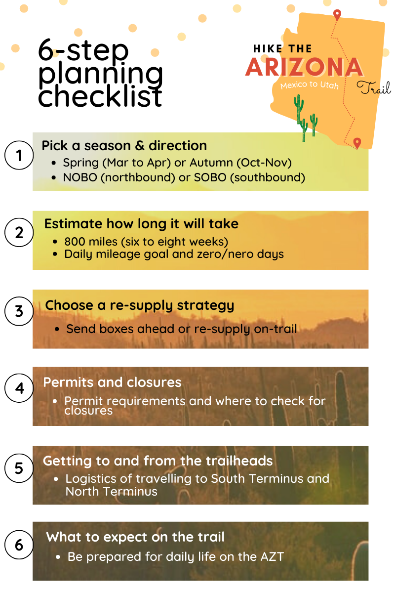
Step 1: Pick a season & direction
Due to extreme temperatures in summer, the AZT has two hiking seasons - offering flexibility around when you can start your adventure.
To help you decide which season to hike, the Arizona Trail Association advise the following:
SPRING, March to April:
Typically the most popular, as hiking in spring boasts wildflowers and fresh flowing water (if there has been healthy winter precipitation).
You hike with the sun on your back and there are more daylight hours vs. hiking in autumn (where it is getting progressively darker earlier as you hike into November).
Most people start in March for a northbound adventure. Start too soon and you'll get lots of freezing nights and deep snow on the Kaibab Plateau. Start too late and you'll roast in the desert (unless you hike at night).
AUTUMN, October to November:
Autumn has the most stable weather conditions and decent water availability if there is a healthy summer monsoon season.
Typically less people on the trail vs. spring, perfect if you enjoy solitude whilst hiking.
A lot of Americans hiking the trail start late September/early October, to finish ahead of Thanksgiving (celebrated on the fourth Thursday in November).
Image courtesy of the Arizona Trail Association.
Once you have decided on the season, the direction you hike is easy as most hikers typically hike NOBO in Spring and SOBO in Autumn.
Spring, March to April - Northbound is the preferred direction (Mexico border to Utah border)
Autumn, October to November - Southbound is the preferred direction (Utah border to Mexico border)
Step 2: Estimate how long it will take
The total distance of the Arizona Trail is around 800 miles, requiring six to eight weeks to complete.
Six weeks - average 18.7 miles per day
Eight weeks - average 14 miles per day
To assist with estimating your daily mileage and trip length, download the FarOut Arizona Trail App. That way, you can estimate realistic daily mileage goals by looking at the changes in elevation, availability of water sources, proximity to towns and services etc (40 different map filters are available).
It’s important to remember that this is an estimation only - planning your daily mileage from the comfort of your couch is much easier than actually hiking it!
How much food to buy and pack - ideally, you want to carry no more than 4-5 days of food to the next town, ensuring that your pack isn’t too heavy on trail (you will need to carry lots of water from each available water source).
There are many uncontrollable factors at play, from extreme weather conditions and trail closures to injuries and illness - making it impossible to estimate your daily mileage with any certainty.
If you start your trip with the mindset that things might change, you’ll be better prepared to roll with the punches if they happen.
Arizona Trail guide itinerary
The following itinerary is based on my AZT thru-hike in 2023.
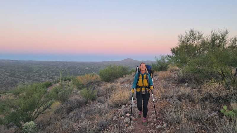
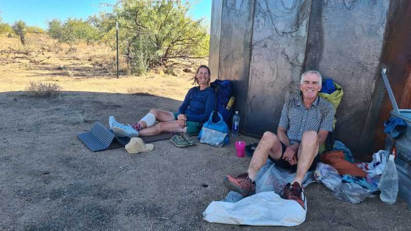
Left: Northern Terminus, Oct 6th (Utah border) | Right: Southern Terminus, Nov 21st (Mexico border)
Season - Autumn (October to November)
Direction - Southbound (Utah border to Mexico border)
Average daily mileage - Around 20 miles per day, with lower mileage days in and out of town
Resupply strategy: Resupply on trail, with the exception of Roosevelt Lake Marina
Zero days - Flagstaff and Oracle
Trip length - 6 weeks and 3 days
Step 3: Choose a food re-supply strategy
Ask three people what their re-supply strategy is and you’ll get three different answers! Some people like to send boxes ahead, whilst others prefer the flexibility of re-supplying on trail (from town to town).
There’s no right answer - simply pick the approach that works for you and your dietary requirements. As you would expect, there are pros and cons to each and as an overseas traveller, I find it is easier to re-supply on the trail (where this is feasible).
The good news is that there are around 30 local towns and communities that surround the AZT, making it easy to re-supply on the trail and support the local community.
Image courtesy of the Arizona Trail Association.
In step two, you have calculated your daily mileage goals by keeping a close eye on the location of towns and services, providing a good indication of how many days of food you will need to get at each town re-supply.
Proximity from the trail to town varies and it can range anywhere from 0 miles to 7 miles, with the exception of Payson that (30 miles off trail).
Southern section (passages 1-13): Towns in the southern section are well spaced out, allowing for multiple options for re-supply.
Central section (passages 14-26): The central section boasts the highest number of towns, making it possible to re-supply often and keep your pack as light as possible.
Northern section (passages 27-46): As you get more remote, it can be harder to re-supply as the northern section has the least number of towns.
NB: A lot of hikers send a re-supply box to Colossal Cave Mountain Park.
Step 4: Permits & trail closures
You don’t need a permit to thru-hike the AZT, however permits are required to camp overnight at the following four locations.
The good news? You can apply for all permits when you are on the trail.
Colossal Cave Mountain Park (passage 8): Permit from Colossal Cave Mountain Park.
Saguaro National Park (passage 9): Two permit requirements, available online via Recreation.gov.
‘Arizona Trail Thru Hiker Overnight Permit’ - allows one AZT hiker to camp at either Grass Shack or Manning Campgrounds. You don’t have to know the exact date (permit is valid for any date within the 14 day date range on the permit).
You will also need to pay for an ‘Individual Pass for Saguaro National Park’
Grand Canyon National Park (passage 38): Backcountry permit issued at the Grand Canyon by the National Park Service.
As an exception to the rule, AZT thru-hikers can request a backcountry permit to camp in the ‘stock site’ when they arrive at the Grand Canyon Backcountry Office. This is strictly subject to availability at Bright Angel Campground and Cottonwood Campground.
Arizona State Trust Lands: Permit issued by Arizona State Land Department
To keep up to date on trail closures, check out the Arizona Trail Associations closures page. If you have the Arizona Trail FarOut app, you will be able to see closures as and when they are posted.
Step 5: How to get to South Terminus and North Terminus
The Arizona Trail isn’t the easiest trail to get to if you don’t have access to a car and you may need to organise a shuttle service or taxi.
Alternatively, you may be able to organise a ride with a Trail Angel.
Northern Terminus: Las Vegas (Harry Reid International Airport, LAS) is the closest airport and Kanab or Page are the closest towns to the Utah border.
From Las Vegas, book a one-way shuttle to Kanab or Page with the ‘National Park Express’ shuttle service, departing early in the morning from Las Vegas Blvd (from $95).
Kanab or Page - this is as close as you can get to the terminus with a shuttle. From here, you can easily pay for a taxi to the Northern Terminus (around $100) - or organise a ride with a local Trail Angel.
Southern Terminus: Tucson International Airport (TUS) is the closest airport and Sierra Vista is the closest town.
From Tucson Airport, you can book an airport shuttle with ‘Arizona Sunshine Tours’ to Sierra Vista.
From Sierra Vista, take a taxi to Coronado Memorial and walk to the trailhead - or organise a ride with a local Trail Angel.
Step 6: What to expect on the trail
People tend to underestimate this trail! As always, preparation is everything and this is especially true of the Arizona Trail.
Remote, rugged and overgrown, the AZT isn’t an easy trail to hike due to the frequent changes in elevation, the unpredictability of the weather and water sources can be scarce in certain sections (e.g. you will need to on top of water sources and fill up and every available source).
Finally, you may need to be prepared for isolation due to the low numbers of hikers that complete the trail - compared to other long distance hikes such as the Appalachian Trail or Pacific Crest Trail.
A great way to learn about the trail is to join the ‘Arizona Trail Class of 2024’ Facebook Group, where you can connect with fellow hikers and ask questions. If you want to read through previous questions asked, check out previous groups (Arizona Trail Class of 2023).
Water sources
Water can be scarce in certain areas and you will need to be on top of where the next water source is, checking availability of water by looking at recent comments posted by other thru-hikers on the FarOut app.
Check out the Arizona Trail Association’s water sources page and water report link below.
Be prepared to filter all of your water in a range of sources, using a reliable and effective water filter system. You will need to ensure that you can back flush your water system.
Due to the heat, take a good supply of electrolytes.
Don’t rely on water caches and be prepared to get your water from cattle tanks (or similar quality water sources as your water supply).
Trail Angels
If you are trying to save money or simply enjoy meeting the locals, the Arizona Trail (like other long distance trails) has Trail Angels.
Trail Angels are volunteers who live close to the trail and support AZT thru-hikers through various ways, from water caching and providing shuttles from trailhead to town, to providing accommodation, laundry and shower facilities in their home.
Please note that donations are welcomed and please don’t wait to be asked!
For a full list of Trail Angels, visit the AZTA’s website.
@rosiesplaceaz - The morning after a lovely night spent at Rosie’s Place, close to Roosevelt Lake Marina.
AZT gear essentials
The Arizona Trail is a challenging hike known for extreme elevation, diverse weather conditions and scarce water availability, requiring the right hiking gear to assist with these challenges.
-
Shield yourself during the heat of the day with an ultralight sun umbrella. A popular brand with thru-hikers is Six Moon Designs.
6.8 oz in weight, this lightweight umbrella is comfortable to hike with and can be used hands free if you purchase an additional bit of kit for $10.
-
There are many options available for filtering water and it will come down to personal preference.
Popular water filters include:
> LifeSaver Wayfarer - good option for the AZT as it is the only hiking water purifier that removes removing bacteria, cysts and viruses (fully tested to exceed NSF/ANSI P231 standards). Made in the UK. Weighs 11.4 oz.
> Sawyer - Squeeze Water Filtration System by Sawyer
> Platypus - QuickDraw™ Microfilter
-
Keep the sun and sweat off your skin with the right gear.
Make sure you have a long sleeve sun shirt and sun hoodie with added UPF protection.
-
The Arizona Trail will test you like no other trail, experiencing 6,000 feet in elevation as you hike through the Grand Canyon!
Lightweight trekking poles are a life saver and are a must for this trail.
Black Diamond is a popular brand, winning hikers over with their Alpine Carbon Cork trekking poles.
LifeSaver Wayfarer - hiking water purifier
Utah’s Mighty Five
If you have time at the end of your AZT thru-hikr, why not hit the open road for an epic road trip through Utah’s Mighty Five!
Zion > Bryce Canyon > Capitol Reef > Canyonlands and Arches National Park
Zion National Park is only 30 miles from Kanab (Utah), the closest town to the Northern Terminus.


