
6 step guide to plan your Continental Divide Trail thru-hike.
In six steps, save time planning your Continental Divide Trail thru-hike.
6-step guide is intended as informational only. Thru-hiking in the backcountry is an inherently risky activity with it’s own set of unique challenges. Please ensure you fully research your trip and remember that safety is each hiker’s responsibility.
Hike anywhere from 2,700 miles to 3,100 miles from Mexico to Canada (or vice versa), traversing through five states and the Continental Divide itself numerous times.
Of the three long distance trails in the USA, the Continental Divide Trail owns its reputation as the rugged one!
Only 70% complete, the CDT is one of the most challenging long distance thru-hikes. With multiple alternates, only a small number of people are brave enough to take it on.
Official website:

Continental Divide Trail Coalition - working to complete, promote, and protect the CDT.
1. NOBO, SOBO or flipflop?
It all starts here! Deciding to hike northbound (Mexico border to Canada border) or southbound (Canada border to Mexico border) is a tough decision, ultimately coming down to what works best for you.
As you would expect, unique pros and cons apply to each direction - with plenty of blogs available, covering everything you need to help make your decision.
Either direction, it’s going to be difficult to hit each state slap-bang in the optimal hiking season and you may need to consider a few flipflop options. No-one said this was going to be easy!
Seasonal considerations by state:
-
Best time to hike the NM section of the CDT is either side of monsoon season.
New Mexico’s monsoon season starts July and runs through to early September, bringing frequent and heavy thunderstorms (typically in the afternoon), as well as bringing the extreme heat of the summer.
SOBO:
Optimal time to hike NM is late April to early June, where you can expect mild temperatures in the day and cool nights (not excessively cold).
Hiking from late Spring into early Summer, reliable water sources such as flowing streams and springs should be available - thanks to the melting snow from higher elevations.
NOBO:
Arriving in NM from late September to early November you can expect great hiking weather, enjoying sunny days and cool nights (similar to conditions in late Spring).
Fall offers stable weather conditions, with fewer thunderstorms and a lower risk of snow (which may impact higher elevations further north of NM).
-
Best time to hike the CO section of the CDT is from late June to early September, balancing Colorado’s monsoon season with extreme snow conditions (avoiding the snowpack until it has melted and before it starts to snow again).
Monsoon season
Colorado’s monsoon season peaks during July and August, bringing frequent and heavy thunderstorms in the afternoon (typically around 1pm to 3pm).
Where possible, plan your day to start early – aiming to hike below the treeline by early afternoon (avoiding high ridges and exposed areas late afternoon).
Snow conditions
Hiking in high-alpine conditions (staying at or above 11,000 feet for nearly 70 miles), snow is a big consideration for Colorado.
Snow melt-out typically occurs around June or July (trail can be covered in until as late as May, with certain sections covered into early June).
Snow can start to fall again from September or October.
SOBO:
Optimal time to hike CO is once snow melt-out has started, making trails more accessible on the high passes and ridges.
Expect comfortable daytime hiking temperatures by late June, with cooler nights (avoiding extreme cold that comes with hiking early Spring).
NOBO:
Optimal time to hike CO is before the snow makes a return from around September to October.
If hiking early September into October, expect mild daytime temperatures with cold nights (prepare for frost in the morning).
Thunderstorms will be less frequent, with the added bonus of enjoying beautiful fall colours.
-
Best time to hike the WY section of the CDT is late June to early September.
Hiking everything from the Wind River Range to the Great Divide Basin, Wyoming is similar to New Mexico and Colorado with a monsoon season and extreme snow conditions - in addition to a new addition of mosquitos!
Monsoon conditions
Afternoon thunderstorms can occur, particularly in July and August.
Snow conditions
By late June most of the trail should be accessible, as a lot of the winter snow has melted from the high passes and ridges. That said, snow can persist on the Wind River Range well into July (on the higher passes).
With the snowmelt, streams and rivers should be flowing, providing reliable water sources. This is crucial in some of the drier sections of the trail, such as the Great Divide Basin (120-mile stretch of high desert with scarce water availability).
Mosquito season
Mosquitoes can be an issue in WY, becoming the most active during summer months (especially July).
Late June to early September:
Recommended to hike the Winds section during August and September (for snow and mosquito free days).
-
Best time to hike the ID and MT section of the CDT is July to early September, avoiding the snow as much a possible (although snow may remain at higher elevations in Montana into July).
This far north on the Canadian border, Montana’s winter season starts early and ends late.
SOBO
Optimal time to start hiking from the Northern Terminus is July onwards, as snow in Glacier National Park can remain well into June.
By early July, most of the winter snow has melted from the high passes, making the trails more accessible.
NOBO
With most NOBO hikers likely to reach Montana by mid September to early October, be prepared for the possibility of early snowfall, (particularly in late September and October).
Hiking in Fall, you will start to lose daylight hours and will need to be set up for colder temperatures at night.

Check out the Continental Divide Trail Coalition’s overview of each State to learn more:
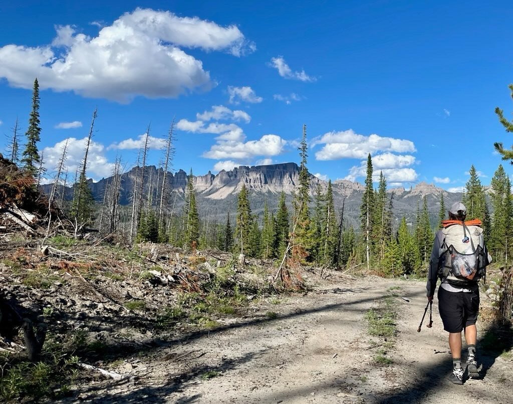
Photo credit: @jive_turkey_hikes > Hiking in the Winds Mountain Range
2. How to get to Southern Terminus or Northern Terminus.
With your hiking direction locked in, you can move onto planning how to get to the Terminus and where to stay.
Good news: Getting to the Southern Terminus is pretty straightforward.
Lordsburg, New Mexico (the closest town to the Terminus) is 100 miles from Crazy Cook Monument and you can pre-book a seat on the CDTC’s shuttle service.
Bad news: Getting to the Northern Terminus is a bit more complicated due to it’s location. To make it even harder, there are two official northern start/end points, both located on the border between Montana and Canada.
Information below focuses on the main northern terminus only, located in Glacier National Park at Waterton Lake.
Southern Terminus - Crazy Cook Monument:
Fly into Tucson, Arizona (TUS).
From Tucson, catch one of Amtrak’s direct services to Lordsburg, New Mexico (selected days only).
2 services available - Sunset Limited and Texas Eagle.
From Lordsburg, organise a shuttle to Crazy Cook Monument.
CDTC offered a shuttle service in 2024 (from March 29th – May 14th).
$175 fee includes membership, water cache service and more.
Where to stay in Lordsburg, New Mexico
Econo Lodge is a popular choice with thru-hikers. Book direct with the hotel and you may get a discount (let them know you are hiking the CDT).
Days Inn & Suites by Wyndham is another great option, offering affordable rates.
Northern Terminus: Glacier National Park, Waterton Lake
The most affordable option - and easiest option for international travellers - is to fly into Seattle (SEA).
From Seattle, catch Amtrak’s direct service to East Glacier, Montana (16 hours).
1 x direct Amtrak service serves East Glacier - Empire Builder
From East Glacier train station, head to East Glacier Park Village.
If staying at Looking Glass Basecamp, organise a shuttle to the Northern Terminus with other thru-hikers.
Where to stay in East Glacier, Montana
Looking Glass Basecamp (aka Luna’s Hostel) is hands-down the best place to stay for thru-hikers.
Located in East Glacier Park Village, get in touch via Instagram or call (they don’t advertise).
@lookingglassbasecamp / 406-270-2785

3. Estimate how long it will take.
Unlike other long distance trails, the CDT’s total mileage isn’t a set amount due to the large number of alternative routes available - varying in total distance from 2,700 miles to 3,100 miles.
Overall, you will need around 5 to 6 months to complete the CDT.
As the ‘rugged one’ of the Triple Crown, the CDT is typically attempted by thru-hikers who have successfully completed other long distance trails - including the Pacific Crest Trail and Appalachian Trail.

Hike through 5 States: New Mexico, Colorado, Wyoming, Idaho & Montana.
As it’s largely impossible to plan your entire CDT hike (and I doubt you would want to), get a rough idea of how long it might take to complete each section below by downloading the FarOut CDT app.
Once downloaded, estimate realistic daily mileage goals by looking at the changes in elevation, availability of water sources, proximity to towns and services using the 40+ map filters available.
Rough mileage guide, NOBO (as displayed on FarOut’s app):
New Mexico - mile 0 to mile 777 | 777.2 miles
Colorado - mile 777 to mile 1,502 | 725.7 miles
Wyoming - mile 1,502 to mile 2,006 | 503.7 miles
Idaho to South Montana - mile 2,006 to mile 2,409 | 403.2 miles
North Montana - mile 2,409 to mile 2,978 | 568.3 miles

Photo credit: @jive_turkey_hikes > Hiking south into the Winds
Alternate routes and side trails by state:
New Mexico - 9 alternate routes: Columbus Gila (alternate from the Mexico border), Walnut Creek, Gila River, Gila River High Route, Pietown Road Walk, Cebolla, Bonita-Zuni, Mount Taylor, and Ghost Ranch
Colorado - 7 alternate routes: Great Divide Alternate, Elwood Pass, Creede Cutoff, Mirror Lake Alternate, Silverthorne, Argentine Spine, and Rocky Mountain National Park Alternate
Wyoming - 3 alternate routes: Cirque of the Towers, Knapsack Col, and Leeds Creek.
Idaho - Macks Inn alternate route.
Montana - alternate routes and side trails: Anaconda Route, Spotted Bear Pass, Chief Mountain (alternate to international border), and 4-mile track to the town of Waterton, Alberta.
4. What to expect on the trail.
If you’re planning a CDT hike, I’d hazard a guess this isn’t your first rodeo - PCT and AT hikers, I’m looking at you!
The Continental Divide Trail stands out for several reasons:
You can hike up to 3,100 miles on the CDT, making it one of the longest trails in the USA.
Hiking such a long distance, expect to encounter varied terrain, from deserts to forests to alpine regions - and everything in between. Long road walks are common on the CDT, which can be more mentally tough than physical.
Paired nicely with varied terrain is weather variability! The weather on the CDT can be extreme, encountering everything Mother Nature can throw at you. Snow, thunderstorms, intense heat and cold temperatures. Invest in a decent, quick drying layering system that is moisture wicking.
Start the trail with a flexible mind-set, and be OK with not sticking to your schedule - e.g. you might need to allow time to wait out dangerous weather conditions (or flip flop).

Let’s not forget the wildlife. Traversing through the backcountry, you will encounter all kinds of local residents - some of which can be dangerous. Grizzly bears, mountain lions and rattlesnakes are common and if there was a good time to learn about the wildlife and how to handle encounters - it’s now!
You need to take food storage seriously on the CDT, using proper techniques to avoid attracting wildlife. Another consideration in addition to hanging food bags is to eat dinner at least a mile away from where you are camping for the night.
Compared to the PCT and AT, the CDT isn’t as well marked as other long distance trails. Might be a good time to up your game when it comes to feeling confident navigating off-trail.

As well as upping your navigation skills, be prepared for long and dry stretches without water availability. Unpredictable at times - especially in New Mexico - you will need to plan water sources ahead of time, whilst keeping updated with the latest water reports from other hikers.
The CDT is less crowded than the PCT and AT. If solitude is your thang, great. Not so great if you like hiking with lots of people.
With less thru-hikers on the trail, it also means there will be less people around to assist in the event of an emergency (make sure you carry decent first aid supplies).
If you struggle with solitude, go into the hike mentally prepared that you may have stretches where you might not see other people.
Think safety first and get a satellite communication device to ensure you are equipped to alert the emergency services if you are hurt (especially if hiking solo).
Overall, the CDT requires a higher level of preparedness and self-sufficiency.
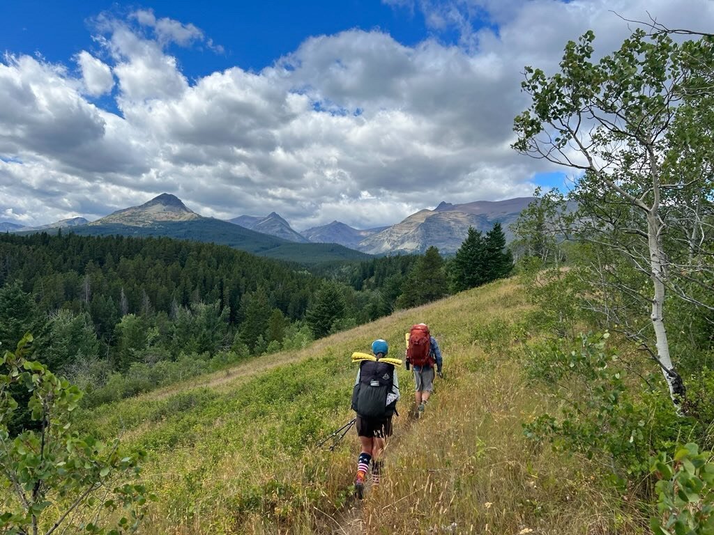
Photo credit: @jive_turkey_hikes > Hiking out of East Glacier
5. Choose a food re-supply strategy.
Ask three people what their re-supply strategy is and you’ll get three different answers! Some thru-hikers like to send boxes ahead, whilst others prefer the flexibility of re-supplying on trail from town to town.
There’s no right answer, simply pick the approach that works best for you and your dietary requirements. As an overseas traveller, I am team ‘Re-supply on trail’, but you do you!
For popular trail towns to re-supply, check out Halfway Anywhere’s annual CDT survey which highlights thru-hikers favourite and least favourite re-supply stops.
Overall, previous CDT thru-hikers recommended a total of 10 places to send re-supply boxes at the following locations (on average, they sent a total of 7 resupply boxes).
Key places to send a re-supply box:
NEW MEXICO x 3: Doc Campbells Store, Pie Town* and Ghost Ranch
COLORADO x 0
WYOMING x 3: Encampment via Battle Pass, South Pass City and Old Faithful Village (in Yellowstone NP)
IDAHO/SOUTHERN MONTANA x 2: Lima and Leadore via Bannock Pass
NORTHERN MONTANA x 2: East Glacier Village and Benchmark Wilderness Ranch
*Pie Town is the most highly recommended place to send a re-supply box.
6. Permits, closures & register your hike.

CDT permit requirements.
You don’t need a permit to hike the CDT - yay!
However, you will need to get three different permits to camp overnight at the following popular locations.
Yellowstone National Park: Backcountry camping permit required, advance registration permits available via Recreation.gov / walk ups available (NPS link)
Glacier National Park: Backcountry camping permits, advance registration and walk up permits available - NPS link
Blackfeet Nation Fish & Wildlife Recreation Permit (southern end of Glacier National Park)

Closure & trail alerts.
The Continental Divide Trail Coalition’s website is your go-to place to find the most up-to-date information about what’s happening on the trail.
In addition, if you register your hike with the CDTC you can sign up to receive alerts directly to your email/SMS at the same time.
CDTC’s websites covers all the info you need including closures, restrictions, and any other notices.
In addition to the website, the CDTC will also post alerts on their Reddit account: r/CDT Reddit.
For fire bans and restrictions, visit here.

Register your hike.
Did you know you can register your hike with the CDTC?
Not only does this voluntary registration help the CDTC’s mission (by collating data to share with partners who manage and maintain the trail), you can stay informed by signing up for trail alerts at the same time as you complete the online form.
Best part? Bag yourself a free CDT hangtag by registering (limited number of available each season).
International travellers

Non-US residents have a few essential steps to consider when planning a long distance hiking trip to the USA.
From obtaining a B-2 visa to securing adequate travel insurance that covers long-distance hiking, preparation is key for a hassle-free thru-hike.
-
For stays in the USA beyond 90 days (up to 90 days is covered by the ESTA visa), you will need to apply for a B-2 visa.
With a B-2 visa, you can stay up to 180 days in the USA.
-
A non-negotiable for visits to the USA, due to the extremely high cost of health care stateside.
The cost and level of cover is dependent on numerous factors, including how high in elevation you hike.
The highest elevation on the CDT is Grays Peak in Colorado at 14,278 ft (4,352 m).
-
Compared to the UK, it can be expensive to get a SIM card in the USA.
A good budget option is an eSIM card, which is easy to set up and is significantly cheaper.
-
Having a GPS tracking device on the CDT is a wise decision, due to the fact that you may be hiking solo for extended periods.
You will need to pay monthly subscriptions (or pay annually).
Service plan - in addition to purchasing the device, you need to sign up to a service plan.
-
Before you start shopping for essentials, check prices in the USA as it can be cheaper to buy certain items once you get stateside.
Visit REI (or your preferred store) when you arrive. Alternatively, order ahead and get your items delivered directly to your hotel.
NB: Always check ahead with the hotel and confirm they are happy to receive and hold a package for you.
-
One way fares can be very expensive (often more expensive than a return flight). As a result, a lot of people will just book a return ticket and not use the flight home.
But there is a better way! If you are signed up to a frequent flyer programme and have earnt miles/points with your preferred airline, you may be able to use your points to reduce the cost of a one way flight - which is considerably cheaper vs. buying through normal booking channels..
NB: I booked a one way flight from London to Phoenix with British Airways for £310 - plus 8,750 Avios points (Reward Flight Saver, Avios & Money).


